由布岳登山マップのご案内 Mount Yufu Hiking Map
更新日
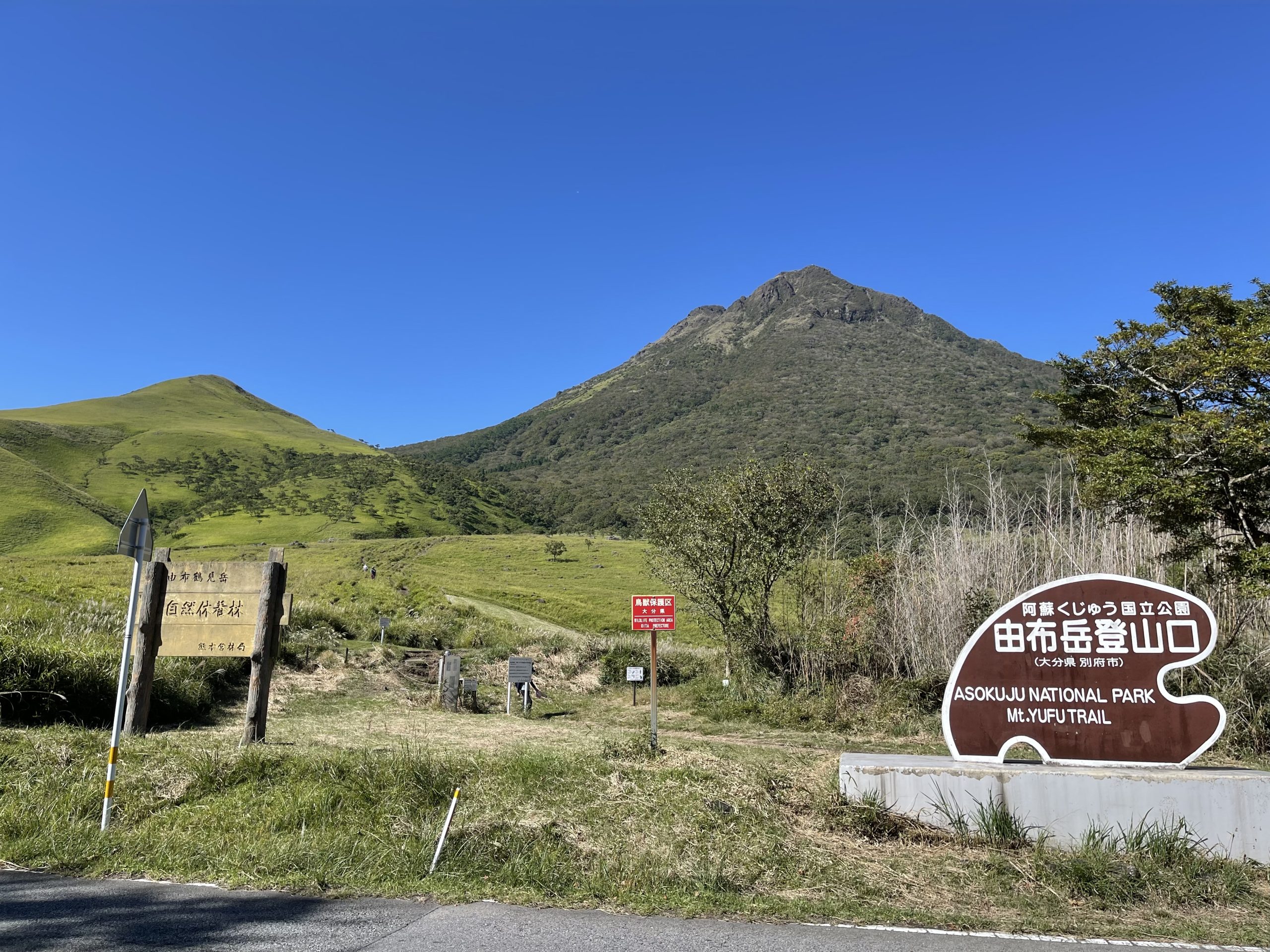
はじめて由布岳へ登る方は、由布岳登山ルートマップをぜひご活用ください。
由布岳の登山をするときに服装など気をつけていただきたいことや、登山口やルート情報などを掲載しています。
ダウンロード(PDF):由布岳登山ルートマップ(日本語)
<< 由布岳登山の前に >>
・由布院の町中から正面登山口までは、車やバス、タクシーでの移動をおすすめします。
・トイレは正面登山口の駐車場のみです。トイレットペーパーは持参してください。
・飲料水は由布院の町中で購入してお持ちください。また、ゴミは全てお持ち帰りください。
・ご自分の登山スキルや経験に合わせた、無理のない登山をお楽しみください。
Welcome to Mount Yufu! As you plan your hike, we recommend consulting our comprehensive hiking route map. Inside, you will find vital information regarding suggested clothing and gear, as well as clear details on the climbing routes for Mount Yufu.
Download the Mount Yufu Hiking Route Map (PDF)
<< Before You Hike >>
Access: We recommend using buses, taxis, or rental cars to reach the main trailhead. Walking or cycling is not advised due to the absence of sidewalks, continuous steep slopes, and frequent high speed vehicle traffic that has led to accidents in the past.
Restrooms: Restrooms are only available at the main trailhead parking lot. Please note that toilet paper is not provided so kindly ask visitors to bring their own.
Water/Supplies: There are no vending machines or water sources along the trail to the summit. Please make sure to purchase drinks and snacks in Yufuin town before beginning your hikes. Also, remember to take all your trash with you.
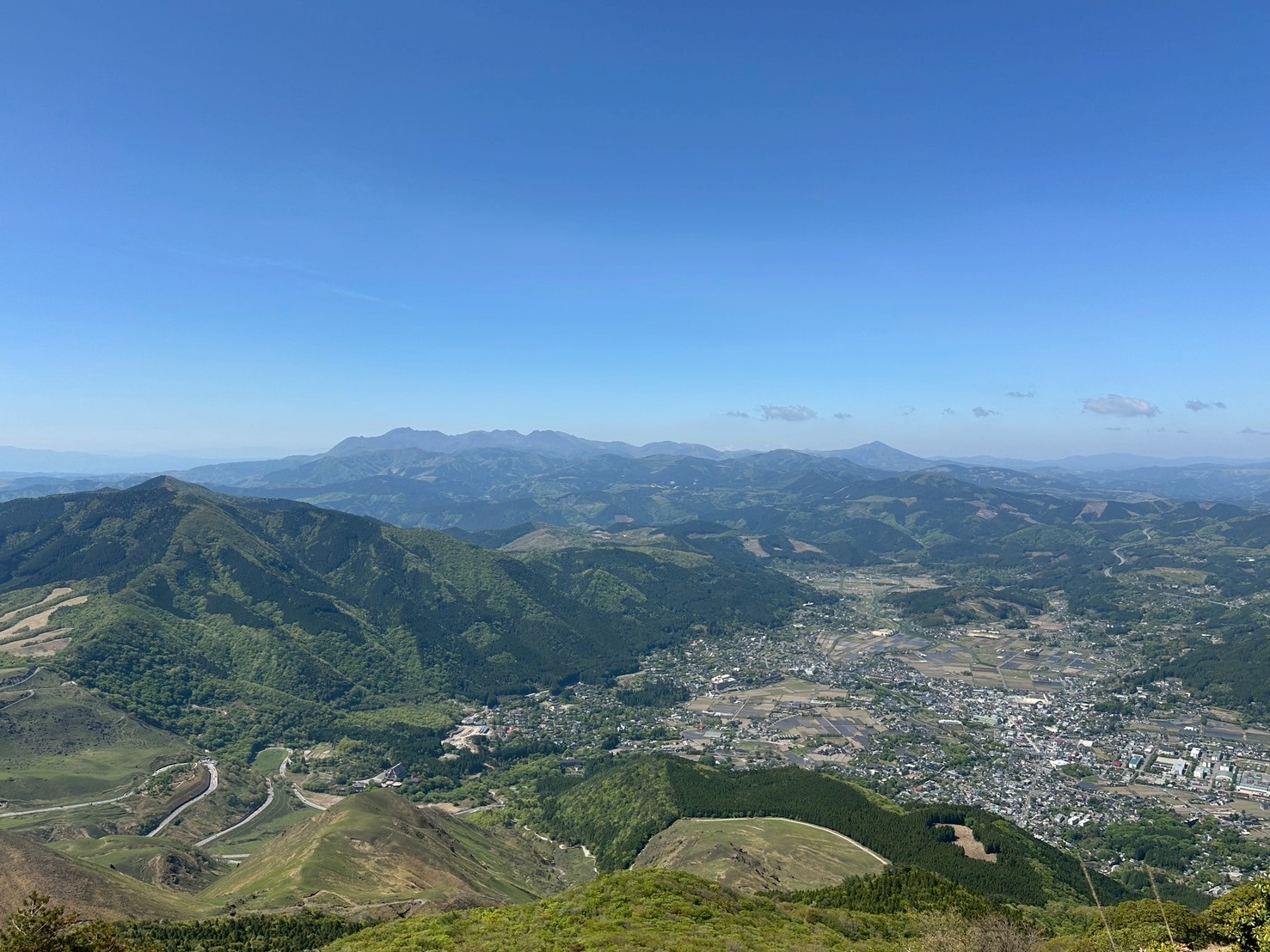
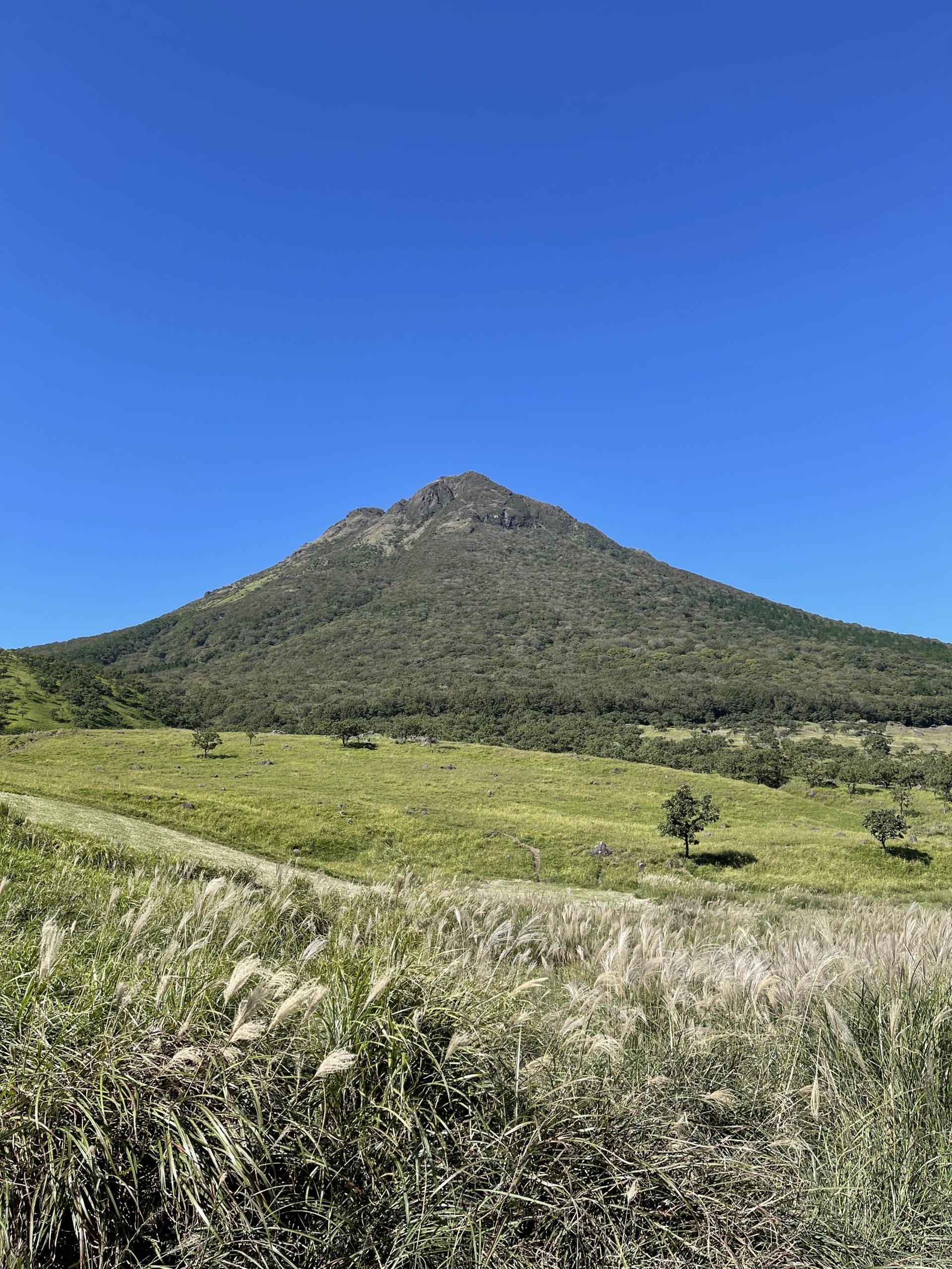
Safety: The area near the summit offers no natural shades, so sun protection is essential. Additionally, clouds often gather only near the summit, reducing visibility and making conditions dangerous. Please choose a hiking route that matches your skill and experience level. And do not push yourself beyond your limits.

LINK
関連リンク


